Conservation scientists have used layers of data on biodiversity, climate, transport and crop yields to construct a colour-coded mapping system that shows where new road-building projects should go to be most beneficial for food production at the same time as being least destructive to the environment.
The hope is that this "trade-off" strategy might guide governments, investors and developers to focus on road expansions that make the most difference for current agricultural areas, rather than projects that threaten to open up significant natural habitats for conversion to farmland.

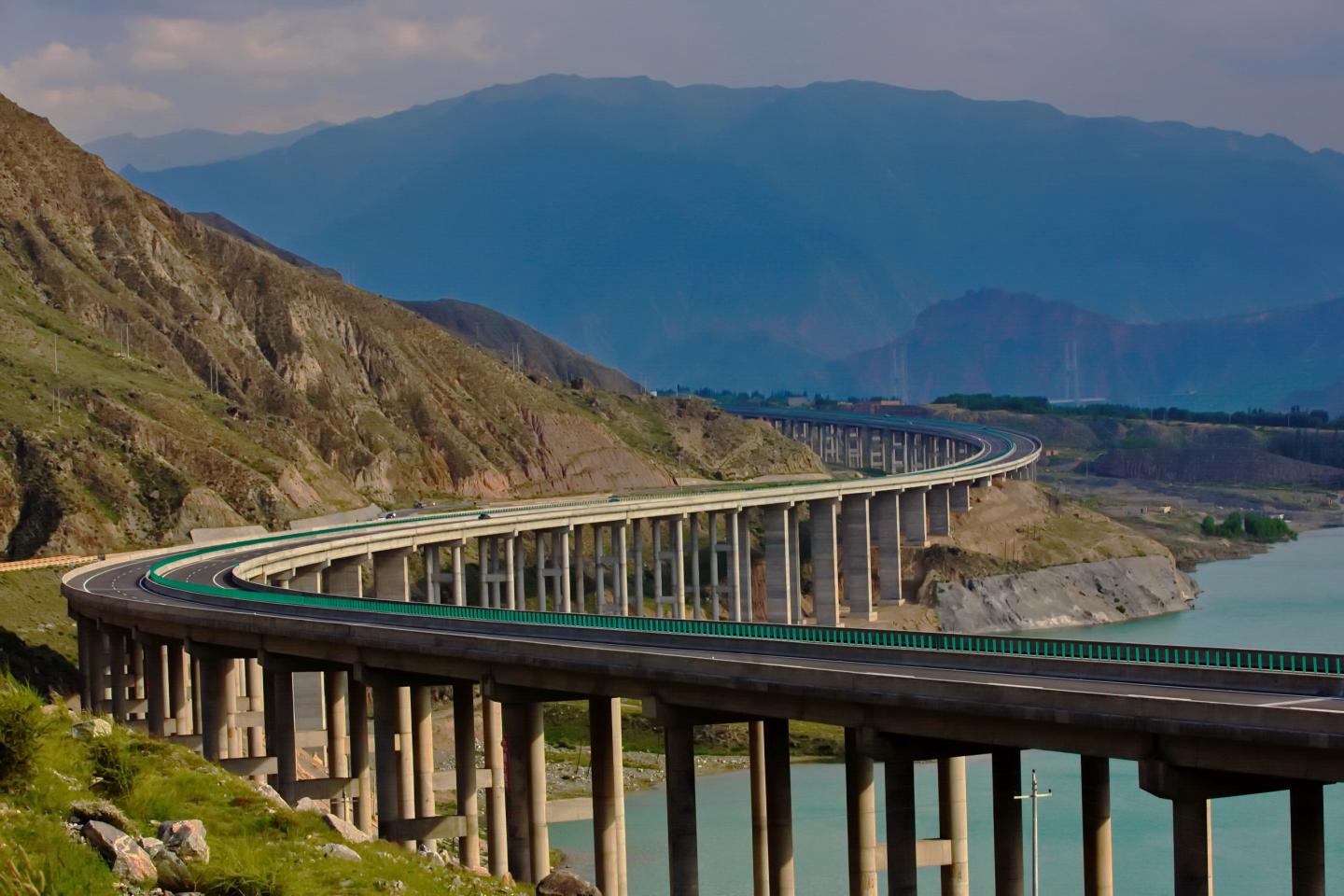
A recently built highway snakes into the mountains of the upper Mekong (Image by XU Jianchu & HUAI Biaoyun)
As a proof of concept, scientists applied their technique to a specific sub-region: the Greater Mekong in Southeast Asia - one of the most biologically important parts of the planet, and a place that has lost almost a third of its tropical forest since the 1970s.
They found a number of current road proposals in Vietnam, Laos, Myanmar and Cambodia have potential for massive habitat conversion with little benefit for populations and food security. They also found areas where new roads could increase food production and connectivity with limited environmental cost.
Researchers from the University of Cambridge, UK, the Kunming Institute of Botany (KIB) and the World Agroforestry Centre in China say their study, published today in
They call on organisations such as the newly established Asian Infrastructure Investment Bank as well as Asian Development Bank to use such analyses when considering investment in future road expansion projects in the Mekong region - an area undergoing rapid development.
"It is estimated that by 2050 we will build 25 million km of new road lanes, the majority of which will be in the developing world," says Andrew Balmford, Professor of Conservation Science at Cambridge.
"Conservationists can to appear to oppose nearly all new infrastructure, while developers and their financial backers are often fairly mute on the environmental impact of their proposals. This can lead to a breakdown in communication."
"The Mekong region is home to some of the world's most valuable tropical forests. It's also a region in which a lot of roads are going to be built, and blanket opposition by the conservation community is unlikely to stop this," says Prof xu Jianchu from KIB, as well as regional coordinator for the World Agroforestry Centre, East and Central Asia Regional Office.
"Studies like ours help pinpoint the projects we should oppose most loudly, while transparently showing the reasons why and providing alternatives where environmental costs are lower and development benefits are greater.
"Conservationists need to be active voices in infrastructure development, and I think these approaches have the potential to change the tone of the conversation."
The Greater Mekong encompasses Vietnam, Laos, Cambodia, Thailand, Myanmar and the Yunnan Province of China. It is home to around 20,000 plant species, 2000 types of land vertebrates and 850 species of freshwater fish. Much of this biodiversity is found nowhere else on the planet.
The saola, for example, is a mammal resembling a small antelope that was only discovered in 1992, and is so rare it is known as the "Asian unicorn". The region's vast forests also act as critical carbon 'sinks', absorbing greenhouse gases.
The Greater Mekong is also home to over 320 million people, and habitat loss has been accelerating. Between 1973 and 2009, an estimated 31% of the region's natural forest disappeared. Alongside this there is widespread poverty; food insecurity and malnutrition remain major challenges.
The researchers created the new framework for road planning in the Mekong by analysing various data sources: including crop yield gaps across the region, travel times between population hubs, range maps for birds and mammals, and biomass carbon stocks in soil and vegetation.
By combining this data into composite layers, the team were able to map them over the region and reduce the results to a simple green-to-purple colour scale comparing food production benefits to environmental costs.
In areas such as Myanmar's Ayeyarwady Delta, new roads could substantially boost food production through improved transport links for getting produce to market, lowering waste and increasing access to new technologies. This would come at a relatively limited environmental cost, as much of the area has been converted to agriculture, yet crop yields remain low.
However, researchers warn that planned projects in other areas with extensive forests, such as in northern Laos and western Yunnan in China, could devastate vital ecosystems with little gain for food production.
"If new roads are deployed strategically, and deliberately target already-cleared areas with poor transport connectivity, this could attract agricultural growth that might otherwise spread elsewhere," says Prof XU.
For Balmford, this is perhaps the crux of the argument, and something he has long been vocal about: "By increasing the crop yield of current agricultural networks, there is hope that food needs can be met while containing the expansion of farming and so sparing natural habitats from destruction. The location of infrastructure, and roads in particular, will play a major role in this."
However, the researchers caution that the channeling of roads into less damaging, more rewarding areas will have to go hand-in-hand with strengthening protection for globally significant habitats such as the remaining forests of the Mekong.
The study entitled: “Getting Road Expansion on the Right Track: A Framework for Smart Infrastructure Planning in the Mekong” has been published on PLOS Biology : http://journals.plos.org/plosbiology/article?id=10.1371/journal.pbio.2000266
This research was funded by the Key scientific research program of Chinese Academy of Sciences. (EurekAlert!)
Contact:
Email: jxu@mail.kib.ac.cn
Tel: +86 871 6522 3599
Key Laboratory of Economic Plants and Biotechnology
Kunming Institute of Botany, Chinese Academy of Sciences


